
Share Location from iPhone to Android: Safe Methods
You’re about to leave for a late walk, a rideshare, or a trip across town. You have an iPhone, the person watching your journey has an Android phone, and you need more than a one-time map pin. You need to know what will keep updating after your screen locks, what happens when the signal drops, and who acts if your location stops moving.
The practical answer is to use a service that works on both operating systems, then treat location as one part of a broader safety workflow. Sharing a location is not the same as proving that someone is safe. A map can show a current position, but it can’t confirm whether the person can respond, whether the phone is still connected, or whether help should be called.
Table of Contents
- Why Native iPhone Sharing Fails Across Platforms
- Installing and Securing Google Maps on iPhone
- Sharing Live Location Through Google Maps
- Why Link-Based Sharing Is Not Enough for Safety
- Upgrading to Continuous Safety Monitoring
- Choosing the Right Method and Verifying It Works
Why Native iPhone Sharing Fails Across Platforms
An iPhone user opens Find My, selects a contact, and expects the Android recipient to see the same live map. The recipient receives nothing useful, or the workflow stops at an Apple account boundary. That isn’t a missed setting. Apple’s native Find My location sharing is designed for Apple devices and doesn’t provide an Android client, so an iPhone can’t share a live location with an Android user through Find My in the same native way it can with another iPhone. Apple’s support guidance also distinguishes native Live Location sharing from emergency location transmission, which follows different rules.
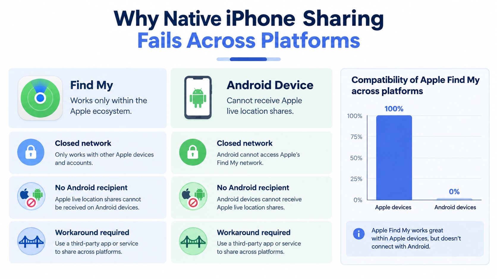
That limitation affects more than families. Mixed-device groups at campuses, workplaces, and travel parties can’t assume that a feature working between two iPhones will cross the operating-system boundary. The useful question isn’t “Which hidden iPhone setting am I missing?” It’s “Which location service has an app or viewing method available on both platforms?”
The platform boundary matters
Apple and Google have worked toward broader interoperability in some areas. Google announced its Android Find My Device network in April 2024, including support for locating compatible devices while offline through a participating device network, as described in this overview of Google’s announcement. Apple and Google have also worked on unwanted-tracking alerts intended to function across platforms.
Those developments don’t turn Find My into a cross-platform person-tracking service. Offline device finding and live person-to-person sharing are different systems. Offline finding can use nearby phones and Bluetooth signals. Live sharing requires the sender’s phone to determine and transmit current coordinates, normally through an app, permissions, and an active data connection.
For buyers comparing phone ecosystems, the same interoperability question appears elsewhere. An infotainment comparison for EV buyers offers useful context because platform compatibility often depends on the specific service, not only on whether two devices can connect in some general sense.
The reliable baseline is simple: use an application available on iPhone and Android, configure it deliberately, and test the recipient’s view before relying on it.
Installing and Securing Google Maps on iPhone
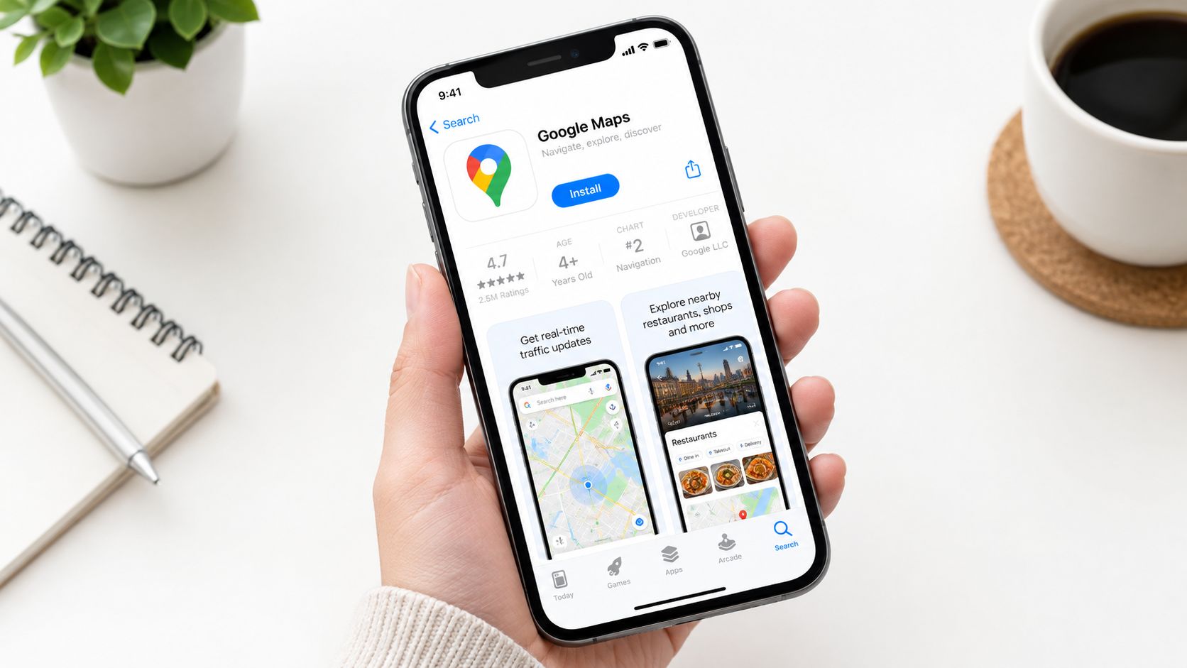
Google Maps is a practical cross-platform layer because the sender can use it on an iPhone and the recipient can view the shared location on Android. The setup is account-based, so install the app from the App Store and sign in with a Google Account before you start the journey.
The permission step deserves more attention than it usually gets. On the iPhone, open Settings > Privacy & Security > Location Services > Google Maps and choose an access level that allows background updates. If Google Maps can locate you only while the app is open, the map may look accurate during setup and then become stale after you switch apps or lock the screen.
Configure the sender’s phone
Use this setup sequence:
- Install the app: Download Google Maps from the App Store and sign in.
- Allow location access: Open the iPhone’s Location Services settings and give Google Maps permission suitable for background use.
- Check connectivity: Keep mobile data or Wi-Fi available during the journey. Location sharing needs the phone to transmit updates.
- Review battery behavior: Don’t force-close Google Maps, and check that iOS isn’t restricting background activity in a way that prevents refreshes.
- Test before departure: Send a share and confirm that the Android viewer can see more than an old, static position.
The viewer should also keep location and internet access available on their own device. Google Maps’ support guidance identifies location services, internet connectivity, and appropriate permissions as prerequisites, while troubleshooting guidance recommends allowing background activity and avoiding battery optimization or app restrictions that delay updates. For more detailed guidance on improving the sender’s position quality, see how to improve location accuracy.
Practical rule: A permission that works while you’re looking at the app may not be enough for a locked-screen journey. Test the background behavior, not just the opening screen.
Don’t promise a fixed refresh interval or a guaranteed success rate. No validated benchmark in the available guidance supports claims such as “99% reliable,” and real-world updates can change when the phone loses signal, runs low on battery, or applies background restrictions.
Sharing Live Location Through Google Maps
Once the iPhone is prepared, Google Maps makes the actual share straightforward. Open the app, tap your profile image or initials, choose Location sharing, and then select Share location. You can choose a recipient from your Google contacts or generate a link for delivery through SMS, Messages, or another messenger.
Select the duration carefully. A short duration works for a quick meetup, but it creates a risk if the journey lasts longer than expected. For an ongoing safety session, choose Until you turn this off when that setting fits the situation. A permanent-style share should be intentional, because stopping it later becomes part of the privacy routine.
Choose the right recipient path
There are two useful routes:
- Direct contact sharing: Select the Android recipient through the Google Maps sharing interface when they use a Google Account and the contact is available.
- Shareable link: Copy the generated link into a text message or another chat. The Android viewer can open it in a browser or Google Maps, and a Google Account isn’t required when the sender uses a shareable link.
The link route removes a common account barrier, but it doesn’t remove the technical requirements. The sender still needs location permission, an active internet connection, and a phone capable of transmitting updates. The recipient needs a functioning browser or Google Maps view and enough connectivity to load the latest information.
Verify movement, not just access
Before you leave, ask the Android viewer to open the link while you walk a short distance. Confirm that the position changes and that the viewer can identify the latest update. A page that opens successfully isn’t proof that live sharing is working. It may show a stale position created before the sender’s permissions or connection changed.
Google Maps can also support arrival and departure notifications for a shared contact, but notifications can fail when the sender is offline or an app version is outdated. Treat these alerts as useful additions, not as an emergency response system. For a broader comparison of cross-platform options, review live location sharing before choosing a workflow.
Why Link-Based Sharing Is Not Enough for Safety
A Google Maps link is useful for coordination. Someone can see where you are meeting, follow a journey, or check whether you appear to be approaching home. It becomes much less reassuring when the conditions turn difficult, because the viewer may be looking at a recent position rather than a current one.
The recipient may lose internet access. The sender’s battery may die. A permission can change, background activity can be restricted, or the sharing period can expire without anyone noticing. Google Maps may show a sharer’s recent device location and battery state, but those details still don’t answer the questions a safety watcher needs to answer: Can the person respond? Are they injured? Has the route stopped unexpectedly? Should somebody escalate?
A map dot has limited meaning
A stationary position can mean that the traveler has arrived, stopped for coffee, entered a building, lost signal, or become unable to move. The map alone can’t distinguish those possibilities. Even a recent location doesn’t provide voice contact, visual context, or confirmation that the person is safe.
The same issue applies to link privacy. Anyone who receives a shareable link may gain access to the location information exposed through that link, so the sender should decide who receives it, how long it remains active, and when sharing ends. Before using any location service, read its data practices, including the privacy policy at ReloMaps, and compare how it handles access, retention, and disclosure.
A live dot can confirm position. It can’t confirm wellbeing.
For casual coordination, that limitation may be acceptable. A friend waiting at a restaurant doesn’t need a trained observer or an escalation protocol. A student walking alone, a rideshare passenger whose route changes, or a lone worker traveling between sites faces a different problem. In those situations, location sharing should be treated as evidence for a safety decision, not as the safety decision itself.
A responsible workflow defines what happens when updates stop. The viewer should attempt voice contact, check the last known route and time, and use a pre-agreed escalation plan. If the situation suggests immediate danger, the viewer should contact local emergency services rather than waiting for the map to recover.
Upgrading to Continuous Safety Monitoring
When the risk is meaningful, passive location sharing leaves too much interpretation to one person staring at a screen. A stronger workflow combines live route information with communication, observation, and a clear escalation path. The goal isn’t merely to watch movement. It’s to recognize a problem and act while useful context is still available.
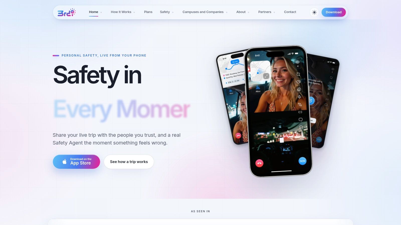
A personal safety service can add layers that Google Maps doesn’t provide by itself. For example, 3rd-i streams live video, audio, and location to selected contacts and trained Safety Agents. Its workflow includes live route visibility, one-tap nudges and responses, SOS escalation to a Safety Agent, and emergency escalation to 911 through RapidSOS. It also supports recording, transcription, and summaries for incident documentation. These features don’t eliminate battery, connectivity, or permission failures, but they give people more information and more options when a map update becomes ambiguous.
Human observation changes the response
Suppose a rideshare route stops in an unexpected place. A map viewer sees the stopped position. A human watcher with an established monitoring workflow can try to contact the traveler, send a nudge, review the route, and escalate if the traveler doesn’t respond or the surrounding context indicates risk.
That distinction matters for campuses and employers as well as individuals. A campus team may need oversight for a late walk. A company may need a process for lone workers. A family may want a trusted contact to watch a journey without requiring the traveler to compose messages while moving. Guidance about an application Geosoin pour aidants also illustrates the broader care principle: location can support human attention, but it shouldn’t be mistaken for complete supervision.
The monitoring method should still be transparent. The traveler needs to know who can view the stream, what gets recorded, how to stop sharing, and what triggers escalation. Privacy controls, such as temporarily hiding from the map, matter because safety and consent must operate together.
The following video provides additional context on the personal-safety workflow:
For an active emergency, an app is not a replacement for contacting emergency services. A safety platform can help deliver context and route information to responders, but the escalation plan should specify when a watcher calls local emergency services directly and what information they provide.
Choosing the Right Method and Verifying It Works
Match the method to the consequence of failure, not to the convenience of setup.
| Situation | Suitable approach | Verification |
|---|---|---|
| Casual meetup | Time-limited Google Maps share | Recipient opens the link and sees movement |
| Late walk or rideshare | Continuous monitoring with human oversight | Watcher, route, communication, and escalation path are active |
| Active emergency | Emergency services plus available location context | Attempt contact, preserve the last update, and escalate when risk indicators justify it |
Run this check before departure:
- Sender check: Confirm location permission, background access, battery level, and internet connectivity.
- Viewer check: Open the Android view and verify that the position changes rather than showing only a static pin.
- Duration check: Confirm the expiration time, or deliberately choose Until you turn this off when appropriate.
- Response check: Agree on what a missed check-in or stopped route means.
- Backup check: Keep voice contact and an emergency escalation plan available if the phone dies, the signal disappears, or permissions change.
Google Maps is a practical answer to share location from iPhone to Android for ordinary coordination. For higher-risk travel, compare location-sharing apps for Android and iPhone and choose a service that adds observation and escalation rather than relying on a dot alone.
3rd-i offers live video, audio, and location sharing with selected contacts and trained Safety Agents, along with nudges, SOS workflows, recording, and emergency escalation through RapidSOS. If you need a safety workflow that goes beyond sending an iPhone-to-Android map link, visit 3rd-i and configure the level of monitoring that matches your journey.